
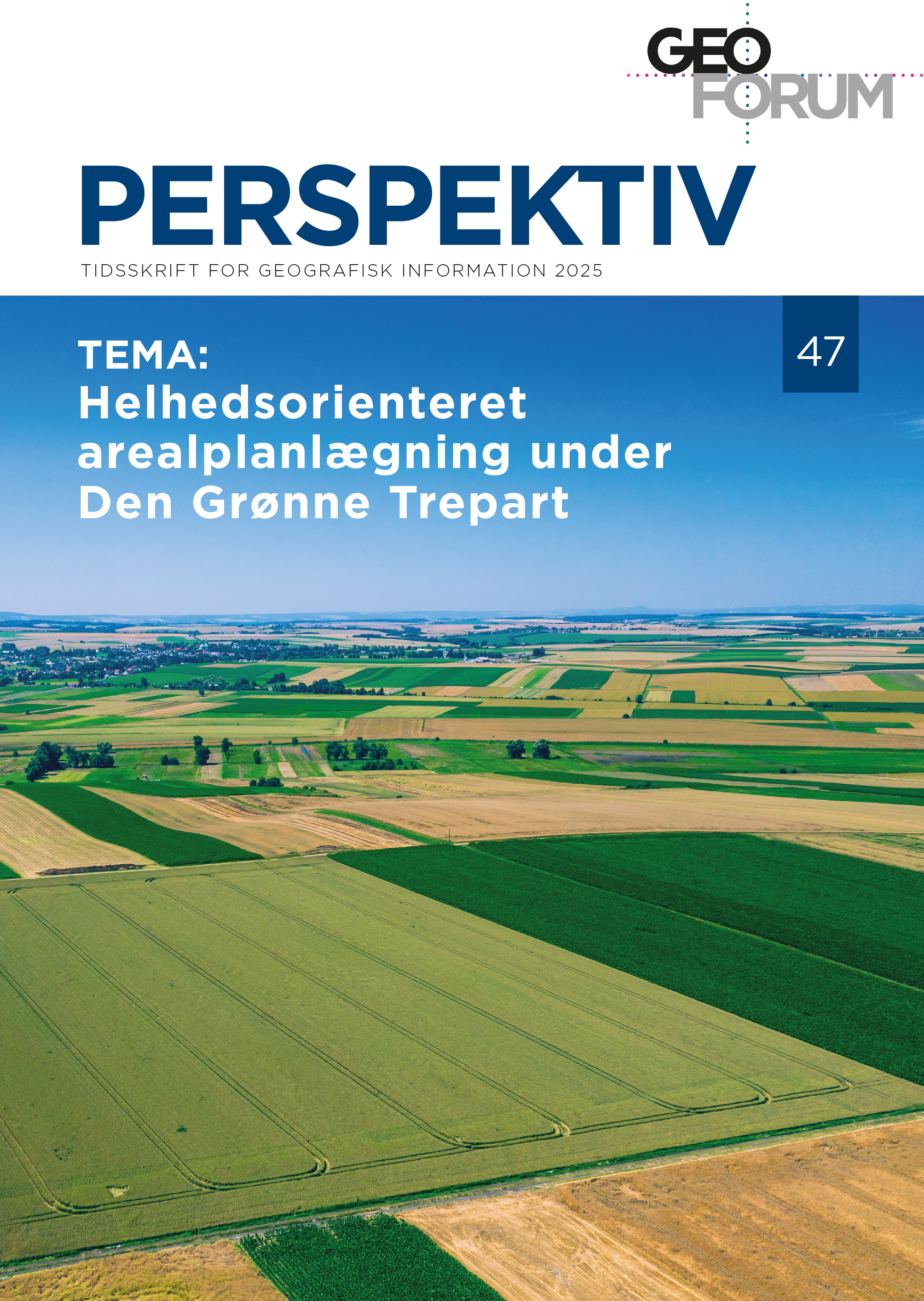
Digital enclosure maps as starting point for the Danish Green Tripartite negotiations
DOI:
https://doi.org/10.54337/ojs.perspektiv.v24i47.10667Abstract
As part of several landscape research projects at SDU (University of Southern Denmark) in the time period 1998-2005, enclosure maps from the selected areas have been digitized (vectorized). This paper deals with the background of the maps and why they with their detailed scale can be a good starting point for planning of new landscapes. They can show as well land use as productivity of the soil around year 1800; they are the earliest maps in Denmark at a very small scale, which are digitally accesible.
Downloads
Published
Issue
Section
License
Copyright (c) 2025 Per Grau Møller

This work is licensed under a Creative Commons Attribution-NonCommercial 4.0 International License.
Authors publishing on Geoforum Perspektiv retain full but non-exclusive rights in their articles, and are required to use the Creative Commons license CC by-nc 4.0 when submitting their work.

