Archives
-
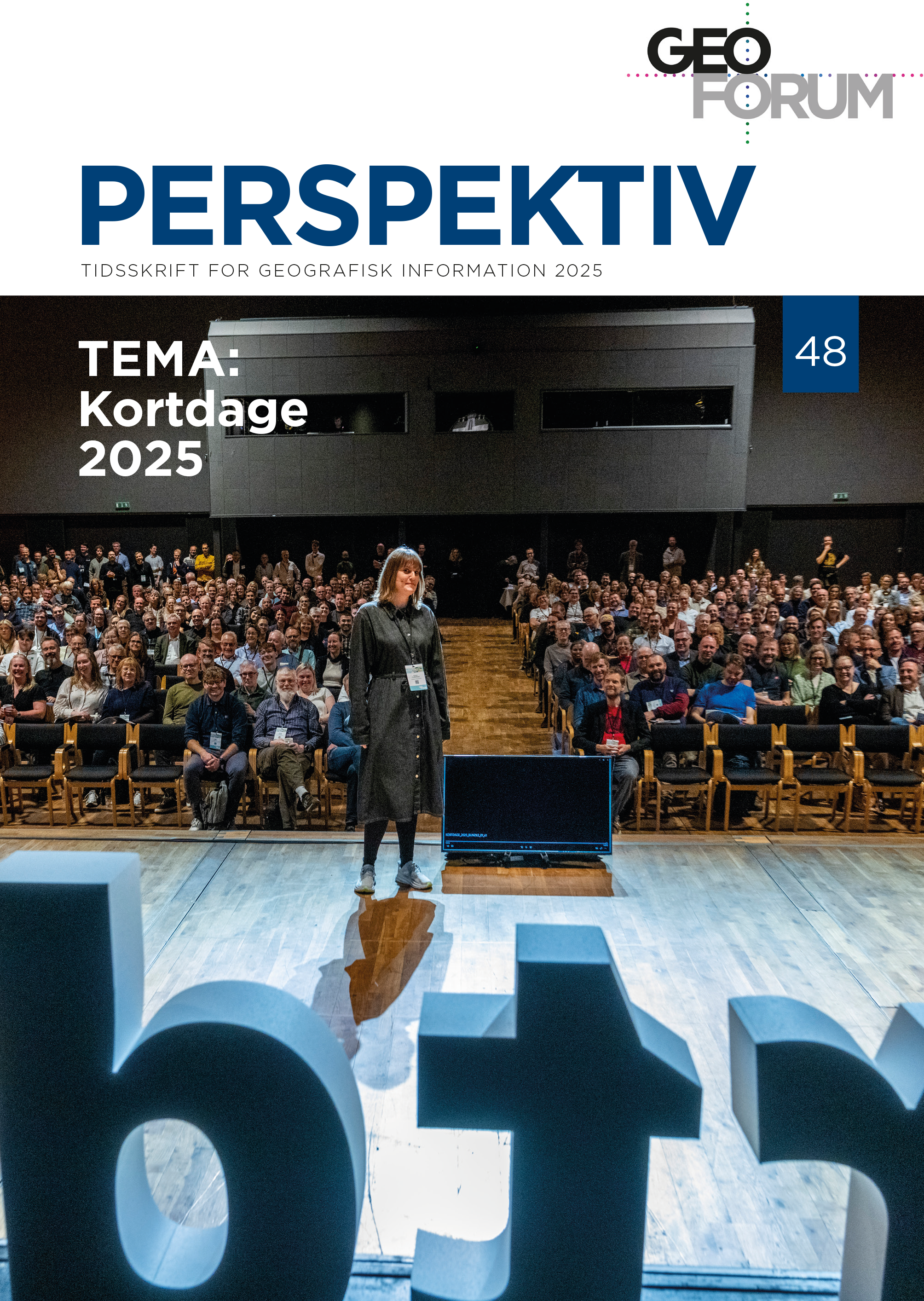
Special issue related to the annual conference, Kortdage 2025
Vol. 24 No. 48 (2025)This is a themed publication for papers in connection with the Geoforum annual conference, Kortdage 2025.
The journal Geoforum Perspektiv subdivides the articles into three categories: Editorial, Peer-reviewed papers, and Other papers. In this publication we only have articles from the latter category.
Please, click the button: “pdf” next to the individual papers below to access the paper.
Editor on this issue is: Jesper Høi Skovdal, Geoforum (jes@geoforum.dk)
-
Holistic spatial planning in the Danish Green Tripartite
Vol. 24 No. 47 (2025)This is a thematic publication on a holistic spatial planning, currently dealing with the Danish Green Tripartite.
The journal Geoforum Perspektiv subdivides the articles into three categories: Editorial, Peer-reviewed articles and Other articles. In this publication we have articles in all three categories.
Click on the button: “pdf” next to the individual article below to access the article.
-
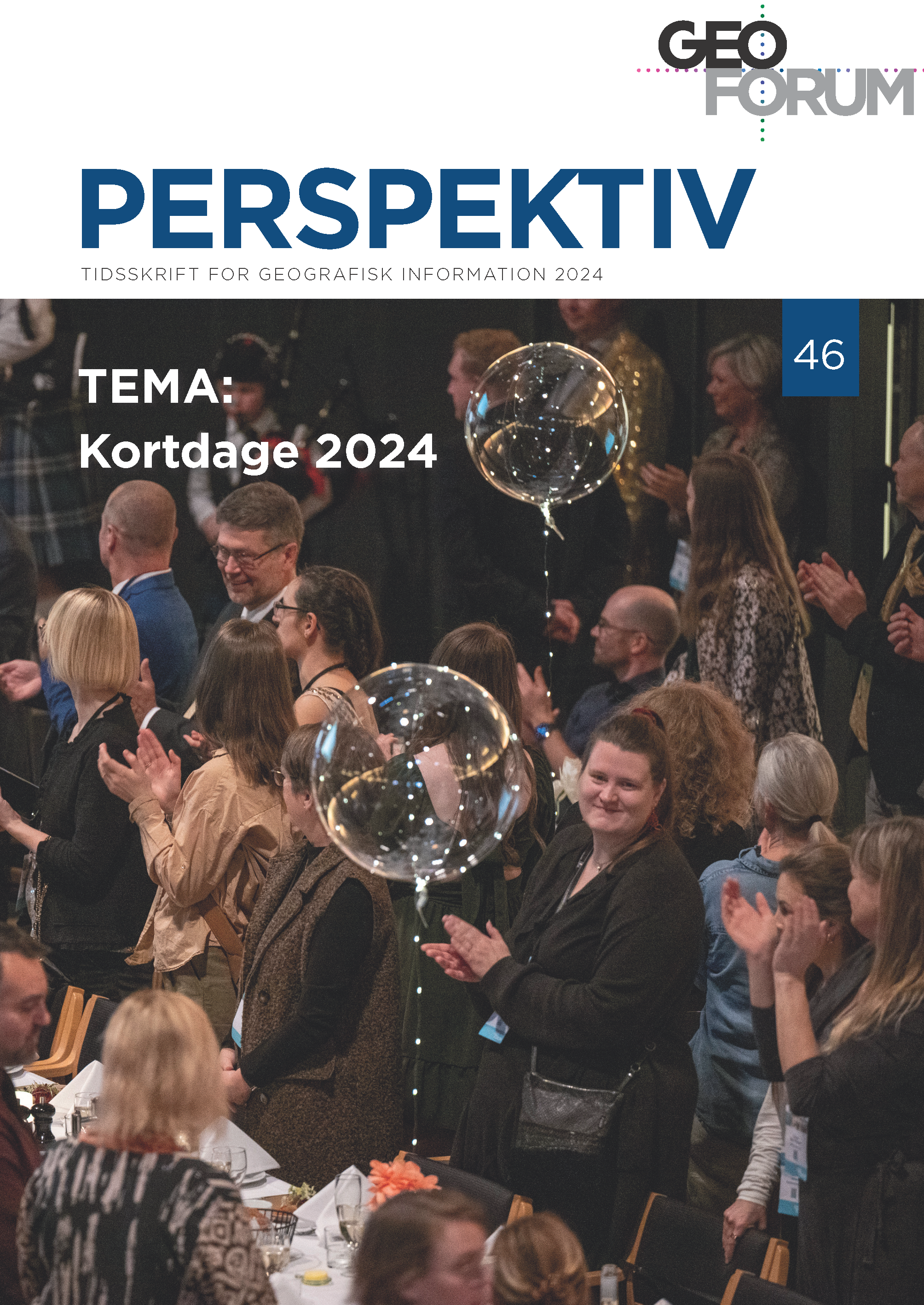
Special issue related to the annual conference, Kortdage 2024
Vol. 23 No. 46 (2024)This is a themed publication for papers in connection with the Geoforum annual conference, Kortdage 2024.
The journal Geoforum Perspektiv subdivides the papers into three categories: Editorial, Peer-reviewed papers, and Other papers. In this publication we only have papers from the latter category.
Please, click the button: “pdf” next to the individual papers below to access the paper.
Editor on this issue is: Jesper Høi Skovdal, Geoforum (jes@geoforum.dk)
-
ANNUAL ISSUE, PLUS++ 2024
Vol. 23 No. 45 (2024)This issue is a collection of papers submitted in 2024 for no planed thematic issue.
The journal Geoforum Perspektiv subdivides the papers into three categories: Editorial, Peer-reviewed papers and Other papers. In this publication we only have one paper from the latter category.
Click on the button: “pdf” next to the paper below to access the paper (in Danish).
Editor on this issue is: Jesper Høi Skovdal, Geoforum (jes@geoforum.dk)
-
Spatial Data Science
Vol. 23 No. 44 (2024)This is a themed publication about Spatial Data Science.
The journal Geoforum Perspektiv subdivides the papers into three categories: Editorial, Peer-reviewed papers, and Other papers. In this publication we have papers from all three categories.
Please, click the button: “pdf” next to the individual papers below to access the paper.
Editors on this issue are: Ane Rahbek Vierø, ITU (anev@itu.dk) og Thomas Theis Nielsen, RUC (nielsentt@ruc.dk).
-
Special issue related to the annual conference, Kortdage 2023
Vol. 22 No. 43 (2023)This is a themed publication for papers in connection with the Geoforum annual conference, Kortdage 2023.
-
ANNUAL ISSUE, PLUS++ 2023
Vol. 22 No. 42 (2023)This issue is a collection of papers submitted in 2023 for no planed thematic issue.
-
Special issue related to the annual conference, Kortdage 2022
Vol. 21 No. 41 (2022)This issue contains contributions from the annual conference, Kortdage, which was ongoing 16th to 18th of November 2022.
-
ANNUAL ISSUE, PLUS++ 2022
Vol. 21 No. 40 (2022)This issue is a collection of papers submitted in 2022 for no planed thematic issue.
-
Special issue related to the annual conference, Kortdage 2021
Vol. 20 No. 39 (2021)This issue contains contributions from the annual conference, Kortdage, which was ongoing 24th to 26th of November 2021.
-
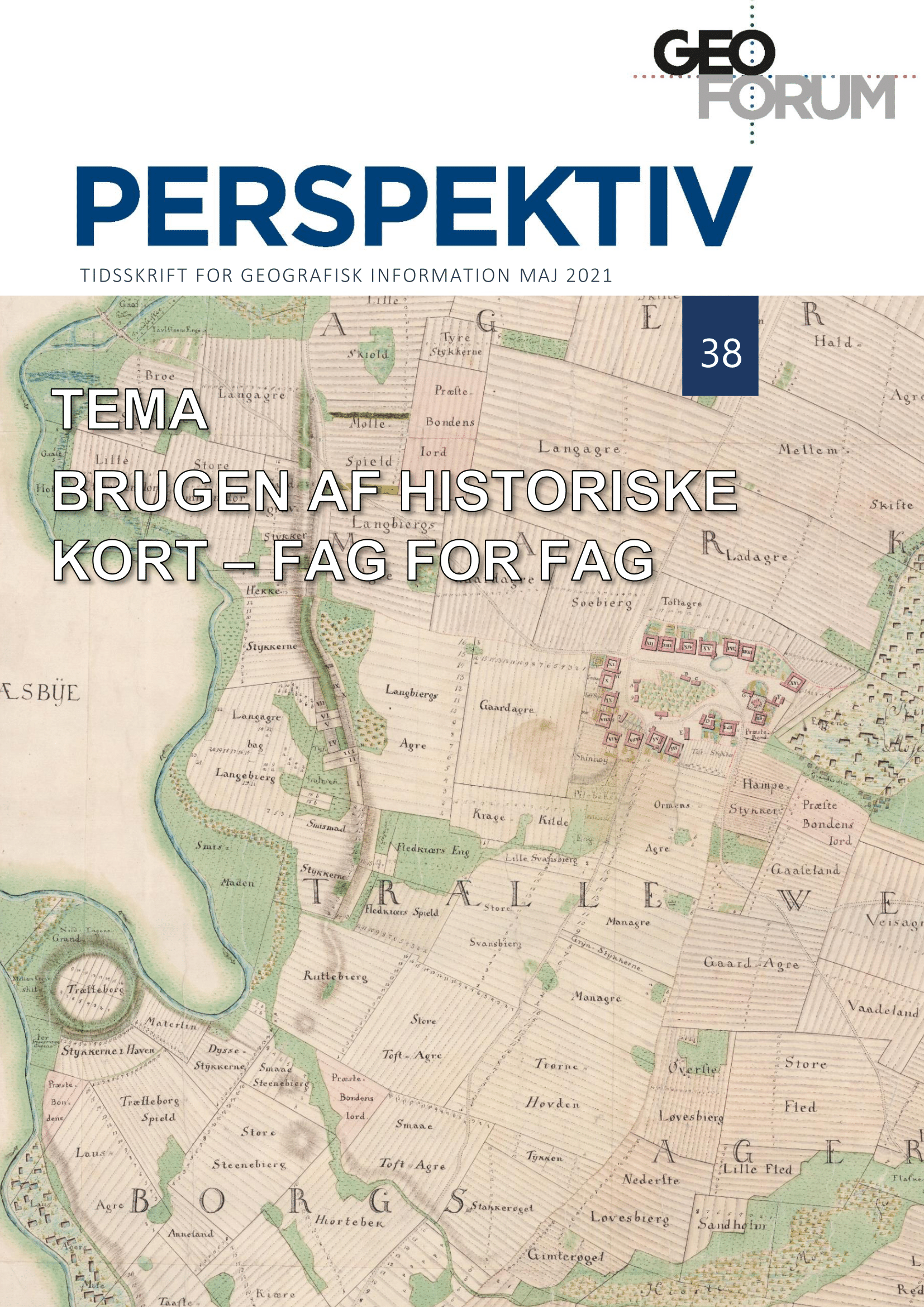
The Use of Historical Maps Across Disciplines
Vol. 20 No. 38 (2021)Historical maps are a central source of information for a large number of disciplines. Managers of cultural and natural heritage, historians, archaeologists, as well as a wide range of cultural communicators and researchers regularly retrieve historical maps from the web services that have made access to these sources fast and and effortless. However, the academic opportunities and the source challenges are largely the same as when the maps had to be studied in paper format. The 16 articles here present the current use of historical maps within a large number of subject areas and topics. Each of the articles focus on one such area.
The articles in this publication are part of a festschrift and a seminar held in honour of Peter Korsgaard on 20th May 2021, on the occasion of his retirement as an archivist from the Danish Agency for Data Supply and Efficiency (SDFE). Peter has, if anyone, been a major force in securing the extensive use of historical maps in Denmark and digital access to them. We are, therefore, many who owe Peter a huge thank you.
-
Special issue related to the yearly conference, Kortdage
Vol. 19 No. 37 (2020)This issue contains contributions from the yearly conference, Kortdage, which is held virtuel this year, from the 11th to 13th of November 2020
-
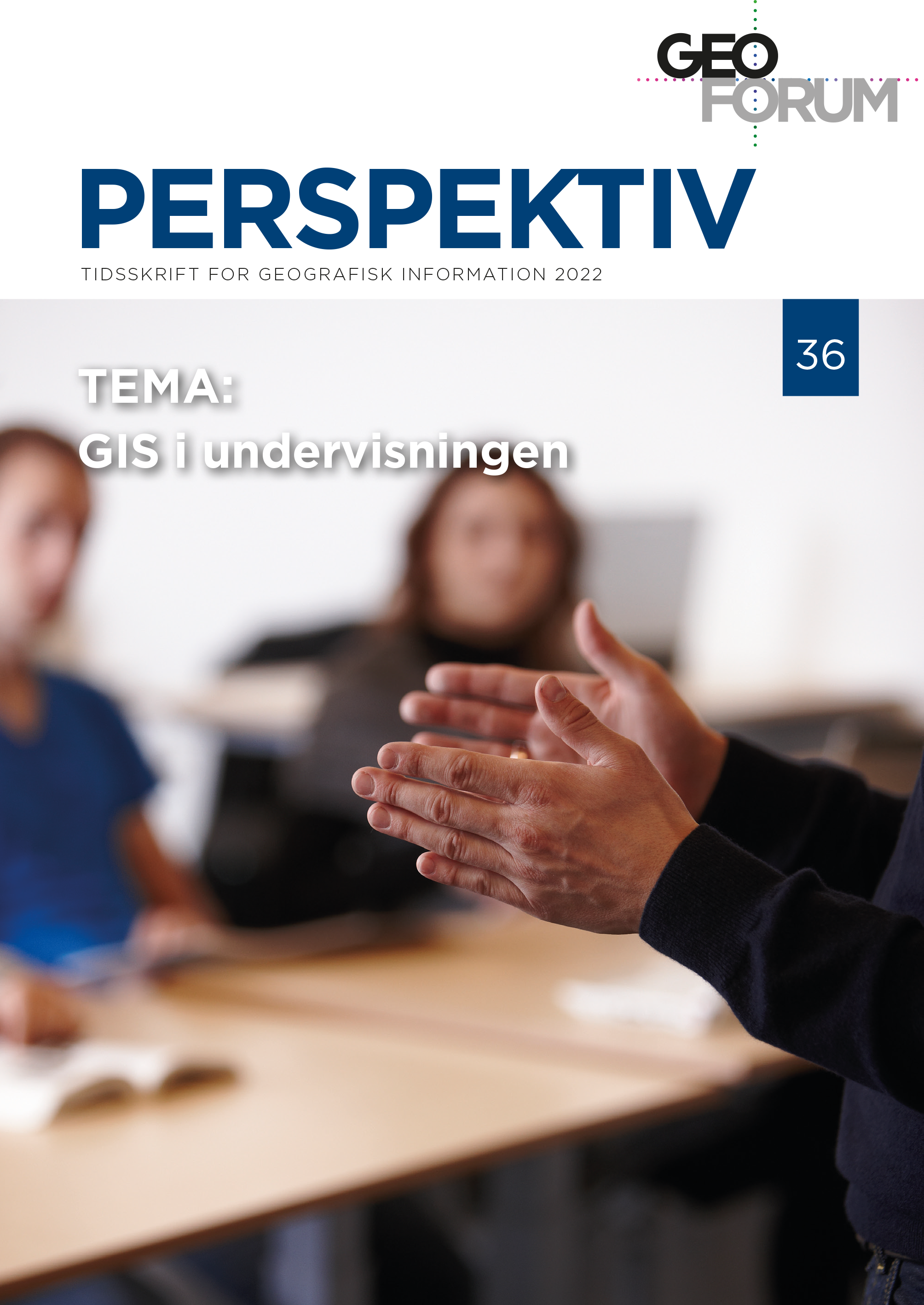
GIS in education
Vol. 21 No. 36 (2022)This themed publication takes stock of teaching with and about geographic information and GIS at the entrance to the twenties. We have managed to collect some exciting contributions that give an insight into GIS teaching in today's primary and secondary education.
-
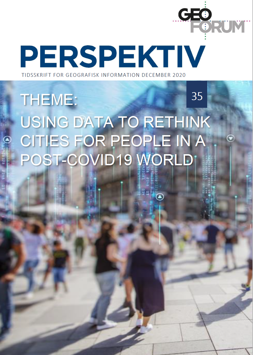
Using data to Rethink Cities for people in a Post-COVID19 World
Vol. 19 No. 35 (2020)As we start planning for post-covid cities, we need to recognize the task and importance to better understand what the pandemics represents for cities and why it has and can change people’s sense of place so profoundly. One way to do this, is to turn to data - as a compass in uncertain times. Data can be seen as the bridge that will allow us to create new meaningful forms of value for people in the cities. This issue exploits various perspectives of urban planning based on spatial data.
-
Kortdags udgivelse
Vol. 18 No. 33 (2019)Kortdage er Danmarks eneste konference, som med et højt fagligt niveau årligt samler og udfordrer hele GIS- og geodata-branchen. Konferencen har eksisteret siden 1974 og formår stadig at fastholde interessen blandt branchens trofaste deltagere – fra beslutningstagere og planlæggere til forskere, udviklere og studerende – samtidig med, at den tiltrækker nye deltagere.
Med årene er området omkring GIS og geodata blevet større og større i takt med, at flere områder i samfundet får øjnene op for anvendelsen af geografiske data. Det betyder, at branchen udvikler sig, tilpasser sig og stiller nye muligheder til rådighed for samfundet.
Over tre dage sætter vi fokus på forskellige temaer, der omgiver og påvirker den danske geodata-branche, og hvor anvendelsespotentialet for kort, GIS og geodata er stort.
Som del af konferencen er det muligt at indsende abstrakts til oplæg med tilhørende artikler. Nærværende udgivelse er resultatet af indkomne artikler, som kan være ikke-fagfællebedømt eller fagfællebedømt.
God fornøjelse
-
Special issue related to the conference, Kortdage 2018
Vol. 17 No. 32 (2018)This issue contains contributions from the yearly conference, Kortdage, which was held from the 14th to 16th of November 2018.
-
Special issue related to the yearly conference, Kortdage
Vol. 16 No. 31 (2017)Kortdage er Danmarks eneste konference, som med et højt fagligt niveau årligt samler og udfordrer hele GIS- og geodata-branchen. Konferencen har eksisteret siden 1974 og formår stadig at fastholde interessen blandt branchens trofaste deltagere – fra beslutningstagere og planlæggere til forskere, udviklere og studerende – samtidig med, at den tiltrækker nye deltagere.
Med årene er området omkring GIS og geodata blevet større og større i takt med, at flere områder i samfundet får øjnene op for anvendelsen af geografiske data. Det betyder, at branchen udvikler sig, tilpasser sig og stiller nye muligheder til rådighed for samfundet. Det betyder også, at Kortdage har haft støt vokseværk, hvilket i 2016 betød op mod 700 deltagere, et større program og mange flere muligheder for den enkelte deltager til at sammensætte dagene med netop den faglighed og mængde professionelt og socialt netværk, vedkommende tager til Kortdage for at få.
Over tre dage sætter vi fokus på forskellige temaer, der omgiver og påvirker den danske geodata-branche, og hvor anvendelsespotentialet for kort, GIS og geodata er stort.
Som del af konferencen er det muligt at indsende abstrakts til oplæg med tilhørende artikler. Nærværende udgivelse er resultatet af indkomne artikler, som kan være ikke-fagfællebedømt eller fagfællebedømt.
God fornøjelse
-
OPSAMLING, PLUS ++ 2017
Vol. 16 No. 30 (2017)Submitted and reviewed papers throughout 2017, which have not suited the tematical issues, but have been valued as important in regard of the Journal´s generel interest in Geographical Information
-
ANNUAL ISSUE, PLUS++ 2016
Vol. 15 No. 29 (2016)This issue is an all-online issue containing the surplus papers that has been send to the journal thoughout the year of 2016.
The papers are being published as soon as they have been reviewed.
-
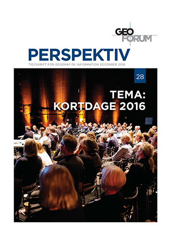
Special issue related to the yearly conference, Kortdage
Vol. 15 No. 28 (2016)Kortdage er Danmarks eneste konference, som med et højt fagligt niveau årligt samler og udfordrer hele GIS- og geodata-branchen. Konferencen har eksisteret siden 1974 og formår stadig at fastholde interessen blandt branchens trofaste deltagere – fra beslutningstagere og planlæggere til forskere, udviklere og studerende – samtidig med, at den tiltrækker nye deltagere.
Med årene er området omkring GIS og geodata blevet større og større i takt med, at flere områder i samfundet får øjnene op for anvendelsen af geografiske data. Det betyder, at branchen udvikler sig, tilpasser sig og stiller nye muligheder til rådighed for samfundet. Det betyder også, at Kortdage har haft støt vokseværk, hvilket i 2016 betød op mod 700 deltagere, et større program og mange flere muligheder for den enkelte deltager til at sammensætte dagene med netop den faglighed og mængde professionelt og socialt netværk, vedkommende tager til Kortdage for at få.
Over tre dage sætter vi fokus på forskellige temaer, der omgiver og påvirker den danske geodata-branche, og hvor anvendelsespotentialet for kort, GIS og geodata er stort.
Som del af konferencen er det muligt at indsende abstrakts til oplæg med tilhørende artikler. Nærværende udgivelse er resultatet af indkomne artikler, som kan være ikke-fagfællebedømt eller fagfællebedømt.
God fornøjelse
-
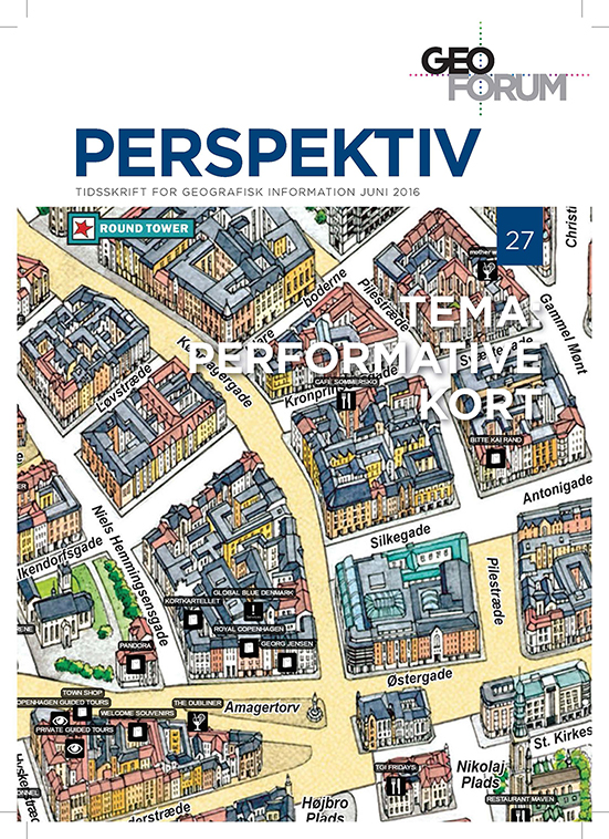
Performative maps
Vol. 15 No. 27 (2016)Cartography, maps and mapping may seem to be non-theoretical, and have “an air of authority” about them. Recently, this instrumentalized rationality, embedded in production and research of maps, mapping, and cartography, has renewed its relationship with critical human geography. One approach on this renewed critical cartography is the discussion of maps as a result of practices, and the relations of power and knowledge. In research, the role of maps has been studied in relation to state formation, and international relations can be identified as such, but maps have also been identified as a tool for communicating power and power relations at local scale. Even though maps and mapping can be understood as representational, they are also performative. Things have a tendency to be become “real”, once they have been mapped. In Denmark, it is estimated that approximately 80 percent of all planning is done using maps, both as a direct tool in the planning process, but also as a mean to communicate the outcome of the planning process. Certainly, things mapped and planned as part of municipal planning have a tendency to become “real”, but also other mapping exercises have proven themselves to be performatory in the sense that, “once mapped – it will be”. Hence, the scope of this volume is to address the performative role of maps and mapping at various scales and across different mapping traditions.
-
Special issue on this year´s GI-conference, Kortdage
Vol. 14 No. 26 (2015)The conference, Kortdage, focuses on geographical information in large, from data to systems and e-Government solutions. Each year, Kortdage brings together experts on GI; from practitioners to researchers, from legislators to executives, from professionals to students. The conference has existed since 1974, and has steadily increased in number of participants. Last year 750 people participated in the conference.
As a new feature, this year´s conference offers publication of scientific articles in a special issue on state-of-the-art research on GI.
This special issue will focus on innovative input to the development within the research field of spatial information.
The scope is to publish a state-of-art issue in relation to the yearly conference, Kortdage.
Below, you will find the first two papers. More papers from the conference are on their way.
-
Smart City and Spatial Data
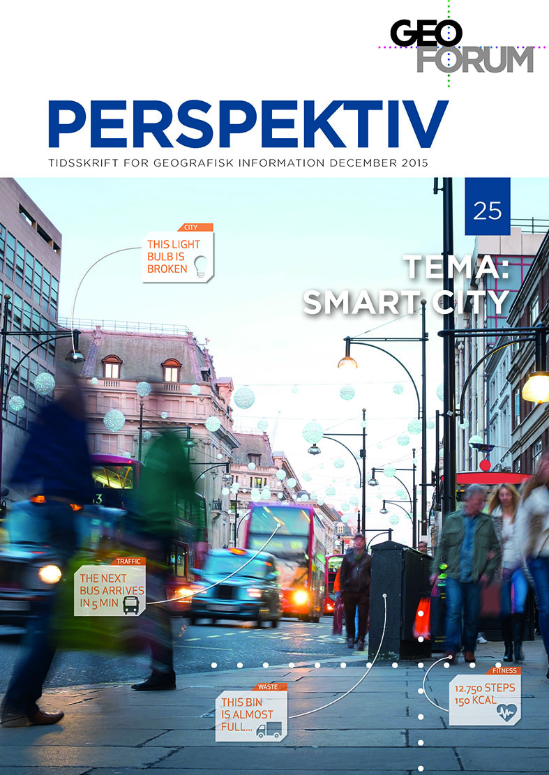
Vol. 14 No. 25 (2015)The Smart City concept is high on the hype curve right now. It is about making our cities smart - or perhaps really about how to build and sustain a physical and digital infrastructure, enabling intelligent interaction with your city. So what makes a city smart? In this special issue, we will explore this and especially focus on the role of geodata in the Smart City. And after all, who wouldn’t like to live in a Smart City?
Above all, a Smart City is a city with a digital dimension. In a Smart City, data about the city and the citizens' use of it is collected and shared. The combination of the physical and social spaces with the digital space allows authorities, businesses, organisations and citizens to develop new solutions and services, and it has far-reaching perspectives: Increased efficiency, better well-being, energy savings, greater security, more citizen involvement, stronger democratic processes.
Big data is an important aspect of the Smart City philosophy. Big data analysis methods and tools make it possible to exploit the value hidden in the large amounts of data produced every day: Open, structured data from public authorities and private businesses, unstructured data generated by our daily interactions on Twitter, Facebook and YouTube, data collected through our use of smartphones, sensor data from appliances, parking spaces, utility companies, buildings, etc. Almost all of this data is location-based, and therefore geography can constitute a strong common platform for compiling data from many different data sources. Further, often the geographical aspect is not just the common language, but rather the essence of the data collection that provides new value in the Smart City: The citizen may be offered services depending on his/her current location; Bluetooth records of drivers' smartphones can give information about queue times on the roads; streetlights can be turned off when the street is empty.
Denmark is at the forefront when it comes to the deployment of Smart City visions.
This special issue will focus on Smart City, both as a concept and with examples of practical solutions, and on Big Data as part of these solutions. In particular, articles focussing on the use of geographic information as infrastructure and basis of analysis will be of interest in the special issue.
The aim of the publication is to communicate the opportunities and practical challenges that arise in relation to the development of the Smart City. -
INSPIRE for good governance - UK edition
Vol. 13 No. 24 (2014)This recent issue of Geoforum Perspektiv is of course inspired by INSPIRE - The Conference. The INSPIRE Conference is held for the eighth time this year and this time in Denmark. It is thus obvious to focus on the status of the INSPIRE-implementationin Denmark.

