
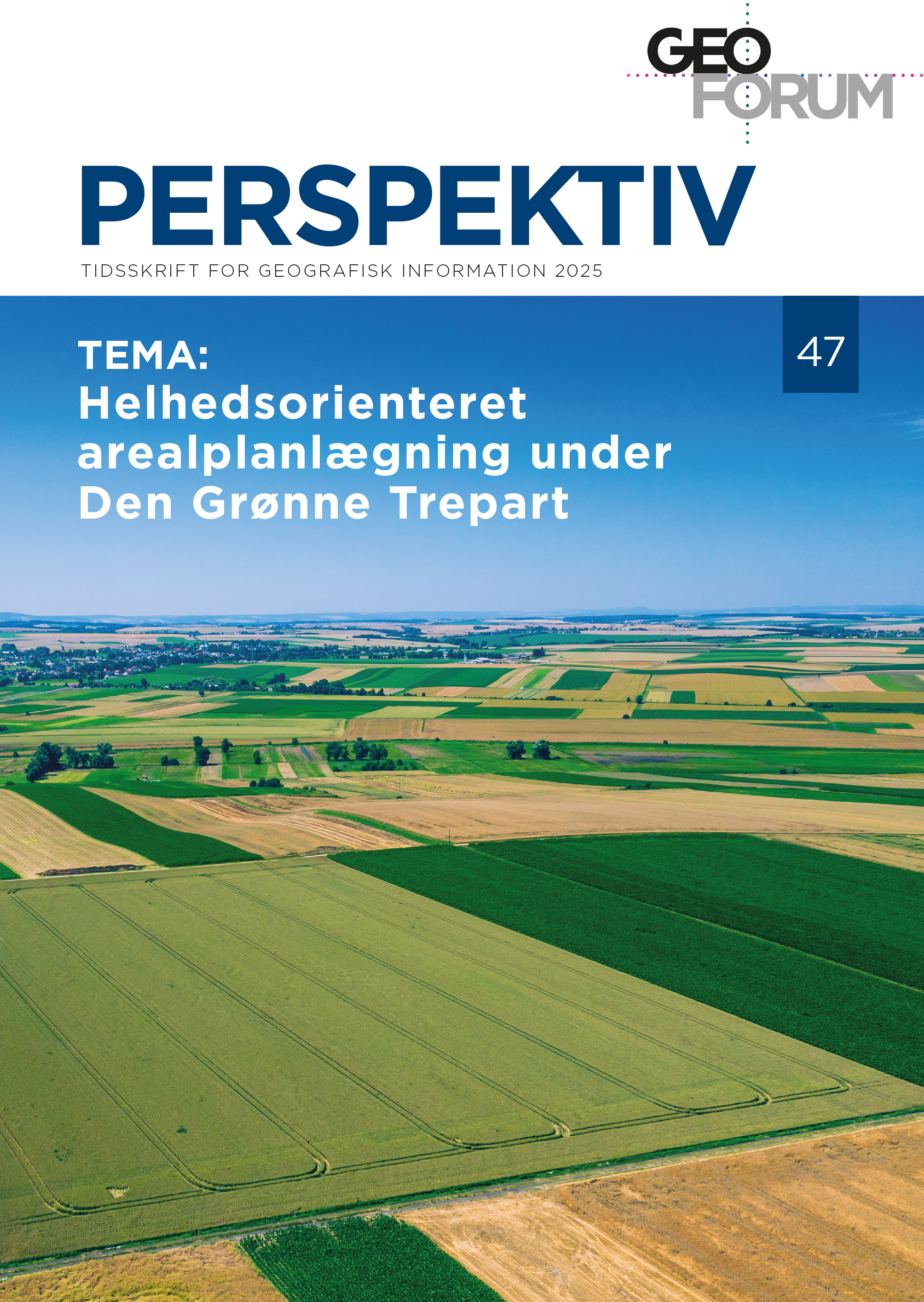
Editorial - Holistic spatial planning under the Danish Green Tripartite
DOI:
https://doi.org/10.54337/ojs.perspektiv.v24i47.11220Abstract
In the summer of 2024, Denmark entered into a green tripartite agreement with the aim of reducing agricultural CO2 emissions and agricultural pressure on the environment, as well as restoring nature. The agreement sets out the largest reform of the Danish landscape since the Land Reforms 200 years ago.
Geographic data and analysis tools are key tools in the concrete implementation of the reform. This is also reflected in Geoforum's strategy, where geodata as a cornerstone for a sustainable future is one of three key policy priorities. At the same time, there is also an increased focus internationally on ecosystem-based environmental management.
This edition of Geoforum Perspektiv focuses on how geodata and geographic analyses can support the implementation of the reform and strengthen sustainable spatial planning with an interdisciplinary, holistic, ecosystem-based approach.
Downloads
Published
Issue
Section
License
Copyright (c) 2025 Stig Roar Svenningsen, Ida Maria Bonnevie, Mette Balslev Greve

This work is licensed under a Creative Commons Attribution-NonCommercial 4.0 International License.
Authors publishing on Geoforum Perspektiv retain full but non-exclusive rights in their articles, and are required to use the Creative Commons license CC by-nc 4.0 when submitting their work.

