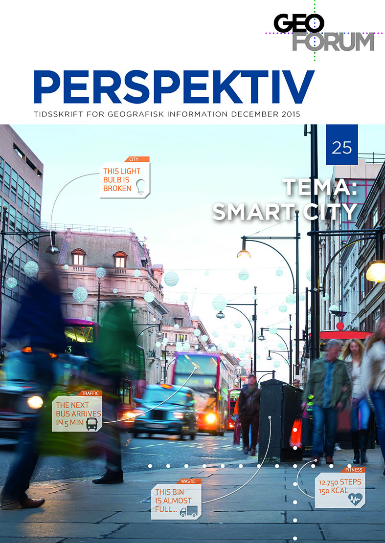
BIM & GIS Connectivity paves the way for really Smart Cities
DOI:
https://doi.org/10.5278/ojs.perspektiv.v14i25.1232Keywords:
Geodesign, BIM, GIS, Internet of things, Semantic Web, Smart CitiesAbstract
We now see several good examples of Smart City and Geodesign initiatives around the world. They often depend on BIM & GIS data. However, interoperability is a challenge that must be adressed in a more efficient way.
So what is required to take the leap from good examples to broad and mainstream application in urban and regional development?
In this article I describe some key success factors for this development, and outline important challenges. I also touch on the V-Con innovation project addressing these challenges.
Downloads
Published
Issue
Section
License
Authors publishing on Geoforum Perspektiv retain full but non-exclusive rights in their articles, and are required to use the Creative Commons license CC by-nc 4.0 when submitting their work.


