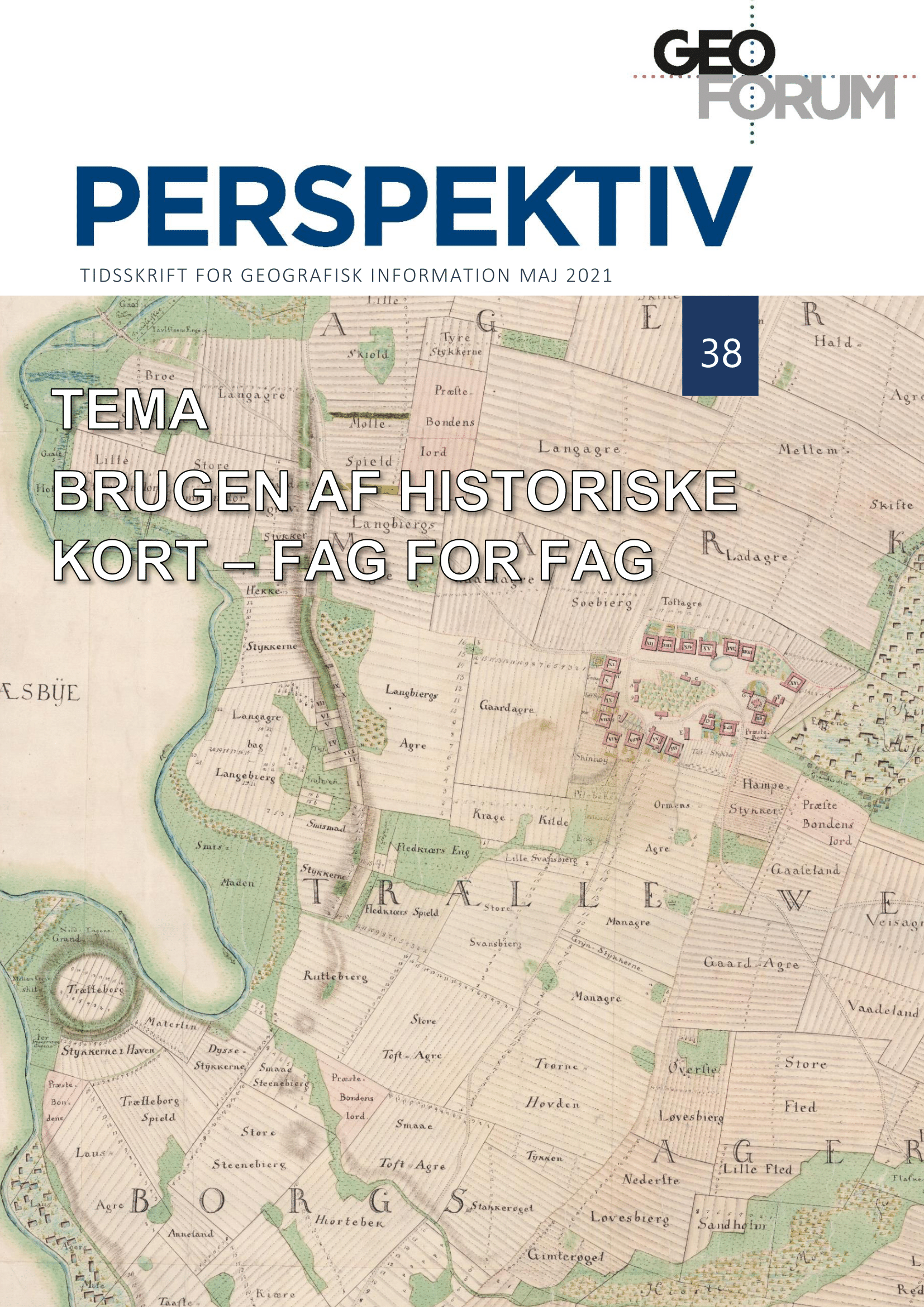
Historical maps as source to the history of mapping. From the topographic maps of the Danish General Staff to Soviet Cold War Military maps
DOI:
https://doi.org/10.5278/ojs.perspektiv.v20i38.6586Abstract
Historical maps constitute an important source to the geography of the past, but also as a source to the history of maps and mapping. Information about the production and surveying history of maps and map series, including the development of representational practices and cartographic style, are important in order to use them as sources to the geography of the past. However, many (old) map series are characterized by the fact that the definition of information is not well described. Thus, there is a need for an interpretation of land categories based on the, often sparse, written sources – as well as different editions of manuscripts and printed maps. Unfortunately, the methodological issues are not only limited to the lack of proper definition of land categories, but also the digitization process. Fortunately, the easy and free access to digitized versions of historical maps remedies several of these issues. Today’s access to a lager and digital source material related to the historical maps, therefore, provides a basis for studying the historical maps and related survey history. The article provides a number of examples on how the digitized maps constitutes an important source material to investigate everything from the mapping practices of the Danish General Staff in the 19th century to Soviet military maps from the 20th century.
Downloads
Published
Issue
Section
License
Copyright (c) 2021 Stig Svenningsen

This work is licensed under a Creative Commons Attribution-NonCommercial-NoDerivatives 3.0 Unported License.
Authors publishing on Geoforum Perspektiv retain full but non-exclusive rights in their articles, and are required to use the Creative Commons license CC by-nc 4.0 when submitting their work.


