
The use of historical maps in landscape history and agricultural history
DOI:
https://doi.org/10.5278/ojs.perspektiv.v20i38.6591Abstract
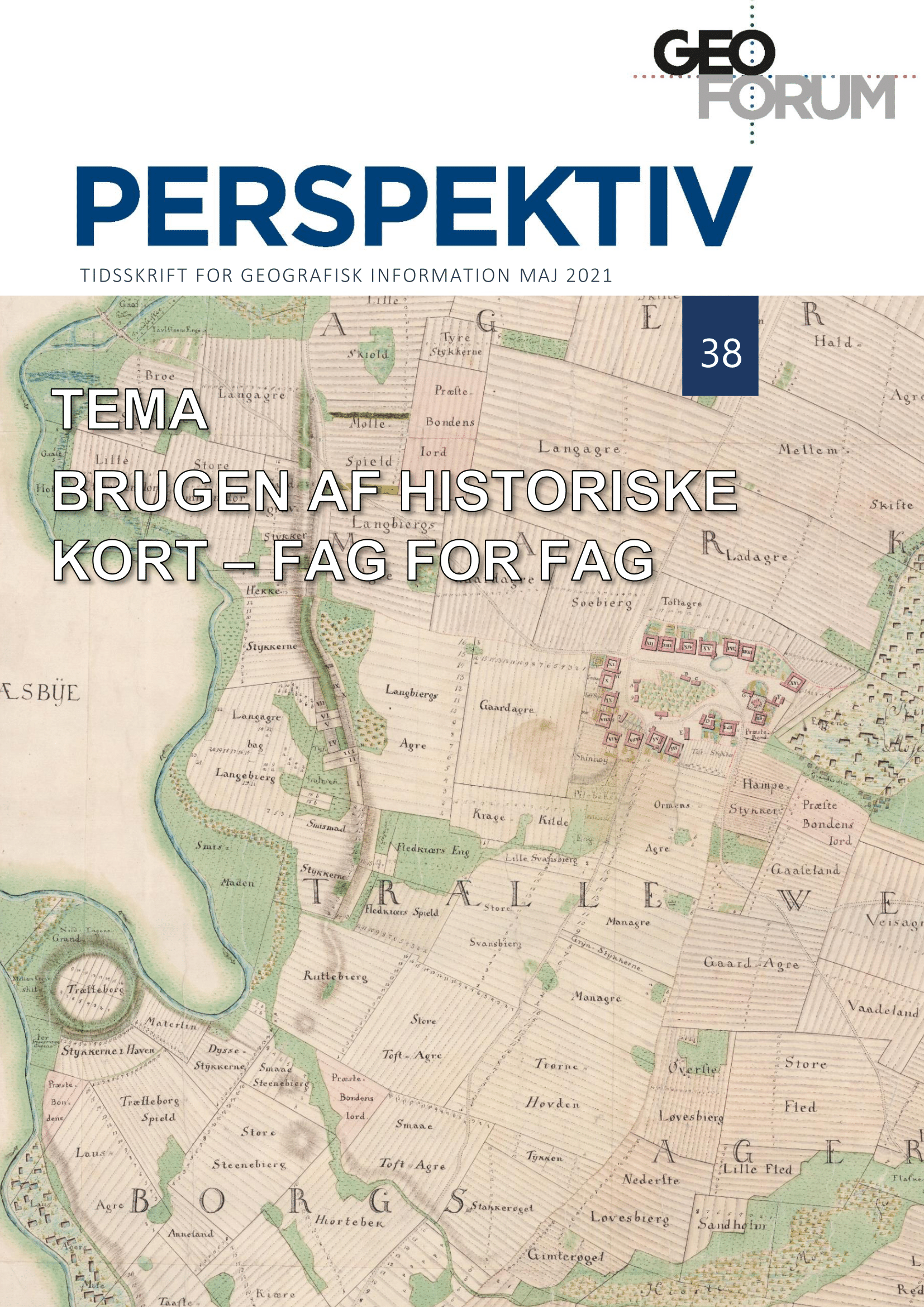
This paper deals with the use of historical maps in landscape history and agricultural history. The history of cultural landscapes cannot be studied thoroughly without the use of historical maps, and several examples are given, where the most detailed map series, the cadaster map (original-1-kort, 1:4000) from c. 1800, has been used, especially in a digital version. However, other maps have also been used, especially topographical maps, for more recent landscape studies. Within the field of agricultural history, the spatial focus is not necessarily essential. As a consequence, it does not have the same tradition for use of historical maps, neither for analyses nor illustrations. Still, in particular the treatment of older agricultural history, historical maps have been more widely used, and especially the era around the agricultural reforms is often illustrated by many contemporary maps, produced as a result of the enclosure reforms.
Downloads
Published
Issue
Section
License
Copyright (c) 2021 Per Grau Møller

This work is licensed under a Creative Commons Attribution-NonCommercial-NoDerivatives 3.0 Unported License.
Authors publishing on Geoforum Perspektiv retain full but non-exclusive rights in their articles, and are required to use the Creative Commons license CC by-nc 4.0 when submitting their work.

