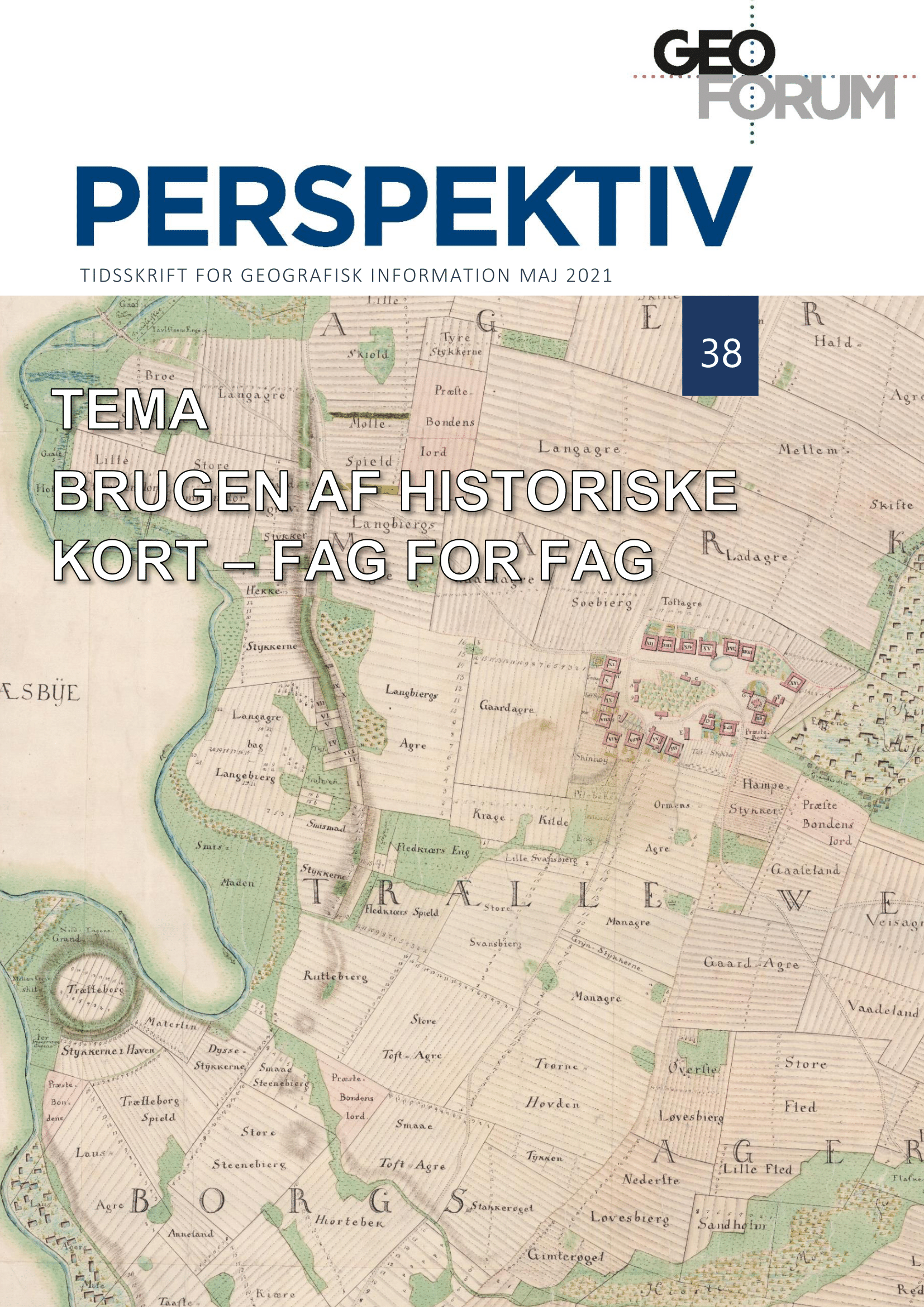
Kort som kilde til Danmarks stednavne. Brugen af historiske kort i dansk stednavneforskning
DOI:
https://doi.org/10.5278/ojs.perspektiv.v20i38.6594Resumé
På næsten alle vore historiske kort er der anført navne på i hvert fald nogle af de kortlagte lokaliteter. Ud over at dette hjælper kortlæseren til at finde mentalt rundt på kortet, så gør det også de historiske kort til en vigtig kilde i stednavne-forskningen. Siden redaktionen af Danmarks Stednavne begyndte i 1910’erne, har man lagt vægt på at få registreret, hvornår et stednavn optræder første gang i kilderne, og præcis hvordan det da blev stavet. Mens langt hovedparten af vore landsbynavne er belagt i de traditionelle skriftlige kilder fra middelalderen og 1500-/1600-tallet (diplomer, jordebøger og matrikler), så optræder mange af vore såkaldte ’mindre stednavne’ (f.eks. på gårde, huse, møller og broer, samt bakker, skove, marker og andre naturlokaliteter) først med deres ældste belæg på land- og søkort fra især 1700- og 1800-tallet. Også for de middelalderligt belagte landsbynavne kan kortene være en vigtig kilde til at fastslå beliggenheden af bebyggelser, der i mellemtiden er blevet nedlagt (eventuelt gennem bebyggelsesindicerende marknavne som ’Gammel-toft’ og lignende), eller hvornår nedlæggelsen er sket. I nærværende artikel præsenteres hvordan stednavne-forskningen har anvendt historiske kort i forskellige sammenhænge og i varierende omfang op gennem det forgangne århundrede.
Downloads
Publiceret
Nummer
Sektion
Licens
Copyright (c) 2021 Johnny Grandjean Gøgsig Jakobsen

Dette arbejde er licenseret under en Creative Commons Attribution-NonCommercial-NoDerivatives 3.0 International License.
Artikler publiceret i Geoforum Perspektiv er licenseret under en Creative Commons Ikke Kommerciel - 4.0 licens. Læs mere her.


