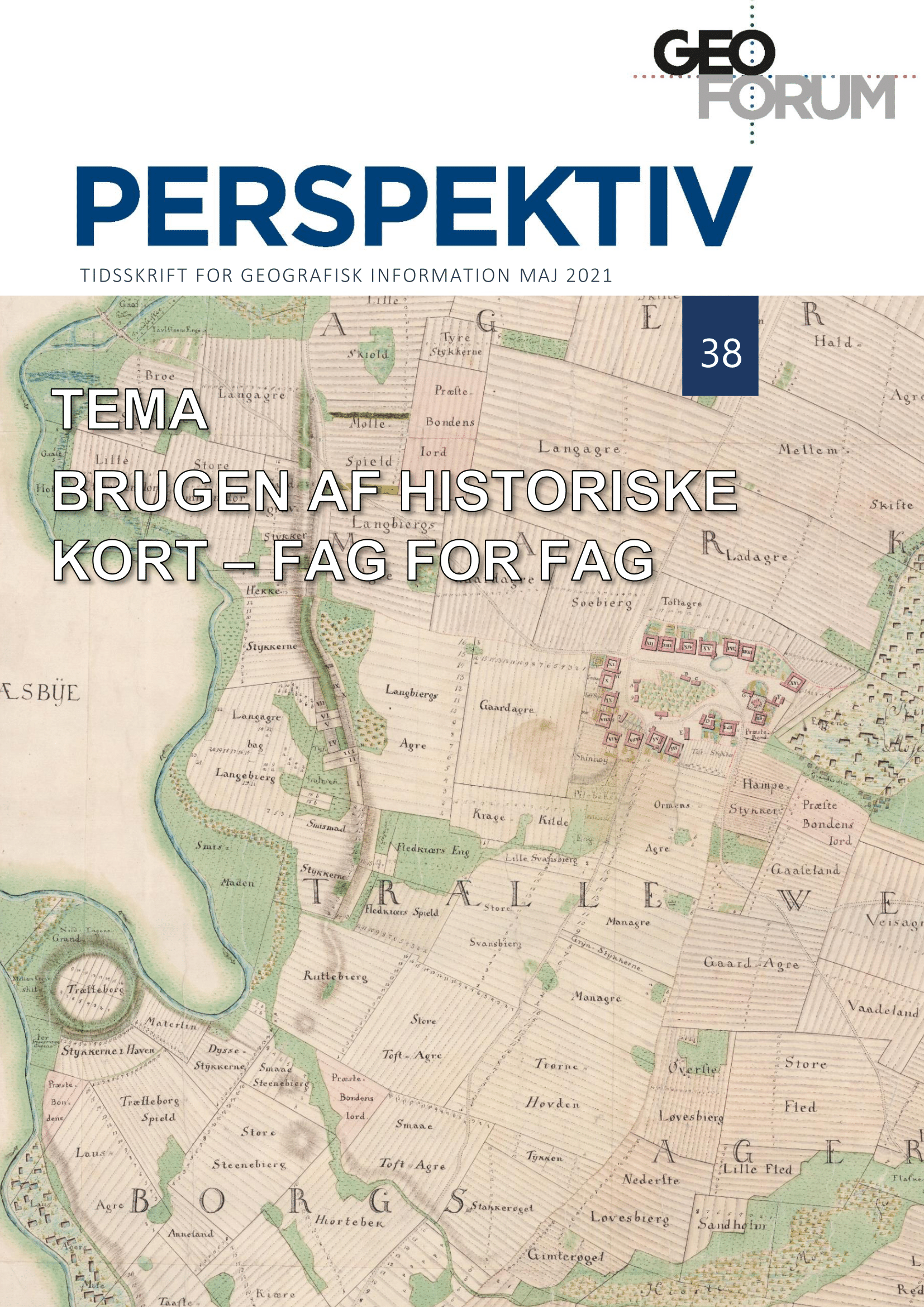
The use of maps in genealogical research
DOI:
https://doi.org/10.5278/ojs.perspektiv.v20i38.6680Abstract
Where family-related property history used to be an arduous and time-consuming task, recent years’ mass digitization of historical archives from Danish cultural institutions has made it relatively easy to locate properties that were once in the possession of a certain family, and to uncover their history. Central sources for this work are the historical maps, which today are online at the Danish Geodata Agency’s Historiske kort på nettet, and especially the so-called Original-1 maps. These were drawn up at the cadaster 1806-1822, and they provide a unique link between the personal names of the head of a family and the cadastral number of this family’s property. With specific examples from the parish of Værløse in the old county of Copenhagen, the author shows how this link between the names of the head of family, cadastral numbers and the properties’ exact location, makes it possible to retrieve other property history data from other historical maps, locate historical aerial photos of the properties, and uncover their ownership history. The article also shows how the genealogy-related property history in combination with traditional genealogical research can reveal unprecedented details of and provide unique insights into family history.
Downloads
Published
Issue
Section
License
Copyright (c) 2021 Mette Colding Dahl

This work is licensed under a Creative Commons Attribution-NonCommercial-NoDerivatives 3.0 Unported License.
Authors publishing on Geoforum Perspektiv retain full but non-exclusive rights in their articles, and are required to use the Creative Commons license CC by-nc 4.0 when submitting their work.


