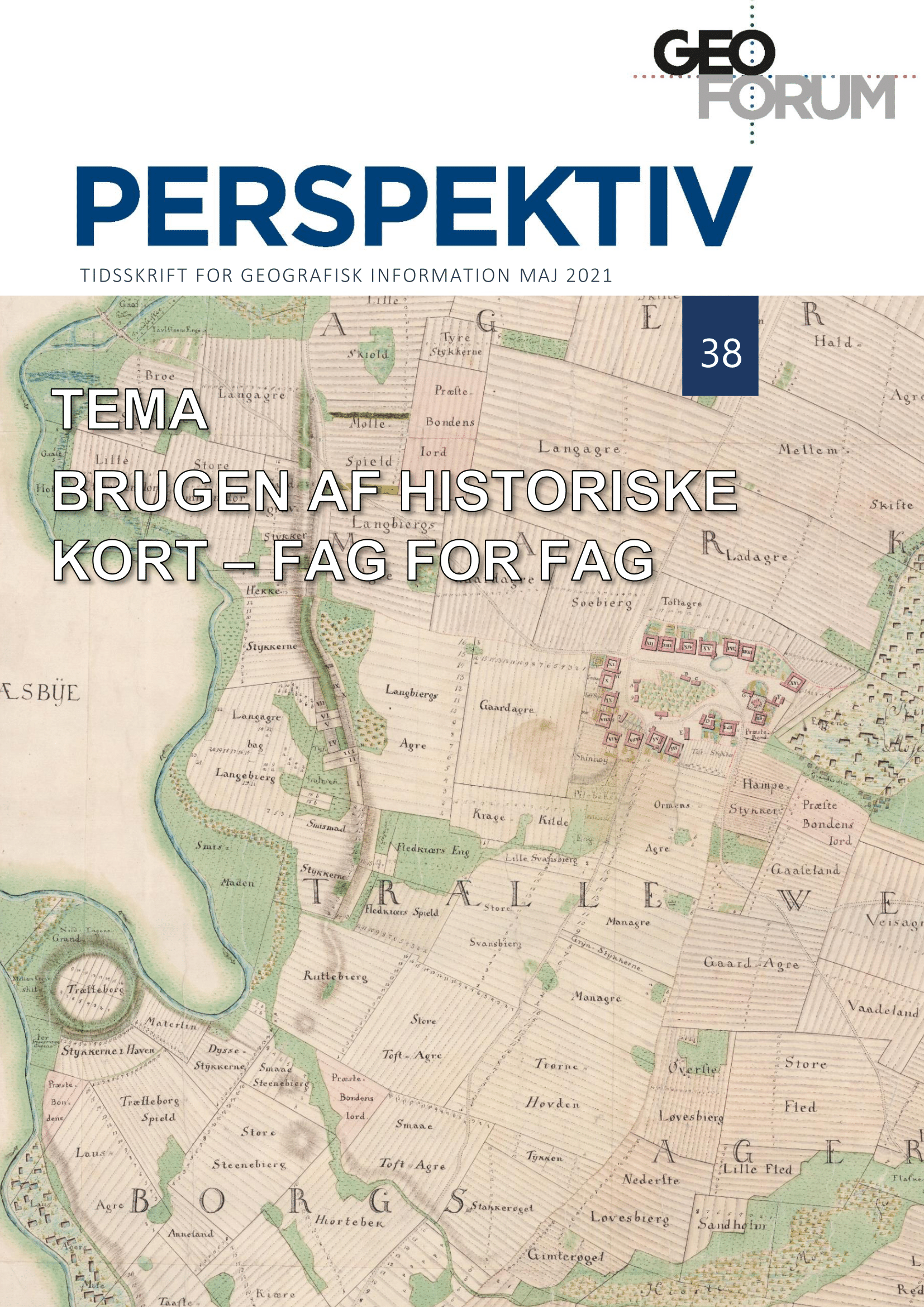
Landscape analyses with an in-depth time perspective. Report from the engine room
DOI:
https://doi.org/10.5278/ojs.perspektiv.v20i38.6681Abstract
The Danish archives hold several unique treasures: one of them is a complete collection of cadastral maps from the agricultural reforms around 1800, another is a complete collection of recordings of each ridge and furrow field visible around 1680. Adding to this, both these sources are digitized and freely accessible online. Needless to say, that these two sources contain an immense potential for studies of open field systems in their landscape setting, and with their digital presence would one think that a study of these is a must for students of the Danish cultural geography and agricultural history.
Focus of this paper is a method developed on analogue media by the now deceased multi-talented scientist Axel Steensberg in the 1940s. The method developed by him combined these two unique sources, thus opening a pathway to the understanding of the genesis and development of open field systems in the realm of the kingdom of Denmark. The method is characterized as a retrogressive method, as opposed to a retrospective ditto, and it is described in detail, how to transform it by using GIS-technology.
Downloads
Published
Issue
Section
License
Copyright (c) 2021 Jens-Bjørn Riis Andresen

This work is licensed under a Creative Commons Attribution-NonCommercial-NoDerivatives 3.0 Unported License.
Authors publishing on Geoforum Perspektiv retain full but non-exclusive rights in their articles, and are required to use the Creative Commons license CC by-nc 4.0 when submitting their work.


