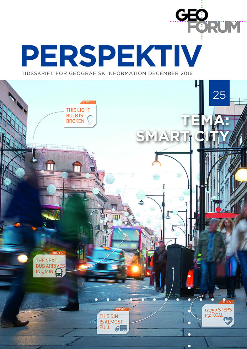
Making Digital Elevation ModelsAccessible, Comprehensible, and Engaging through Real-Time Visualization
DOI:
https://doi.org/10.5278/ojs.perspektiv.v14i25.1231Keywords:
WebGL, Visualization, DHMAbstract
In this paper we present our initial experiments with the new high quality digital elevation model, “Danmarks Højdemodel-2015” (DHM) exposed as an interactive 3D visualization on web and in virtual reality. We argue that such data has great opportunities to spawn new business and new insight for the individual citizen if it is accessible, comprehensible and engaging.
Downloads
Published
21-01-2016
Issue
Section
Other papers
License
Authors publishing on Geoforum Perspektiv retain full but non-exclusive rights in their articles, and are required to use the Creative Commons license CC by-nc 4.0 when submitting their work.


