
Cultivation and fishing. Arnager fishing village, a common-field system on Bornholm?
DOI:
https://doi.org/10.5278/ojs.perspektiv.v20i38.6587Abstract
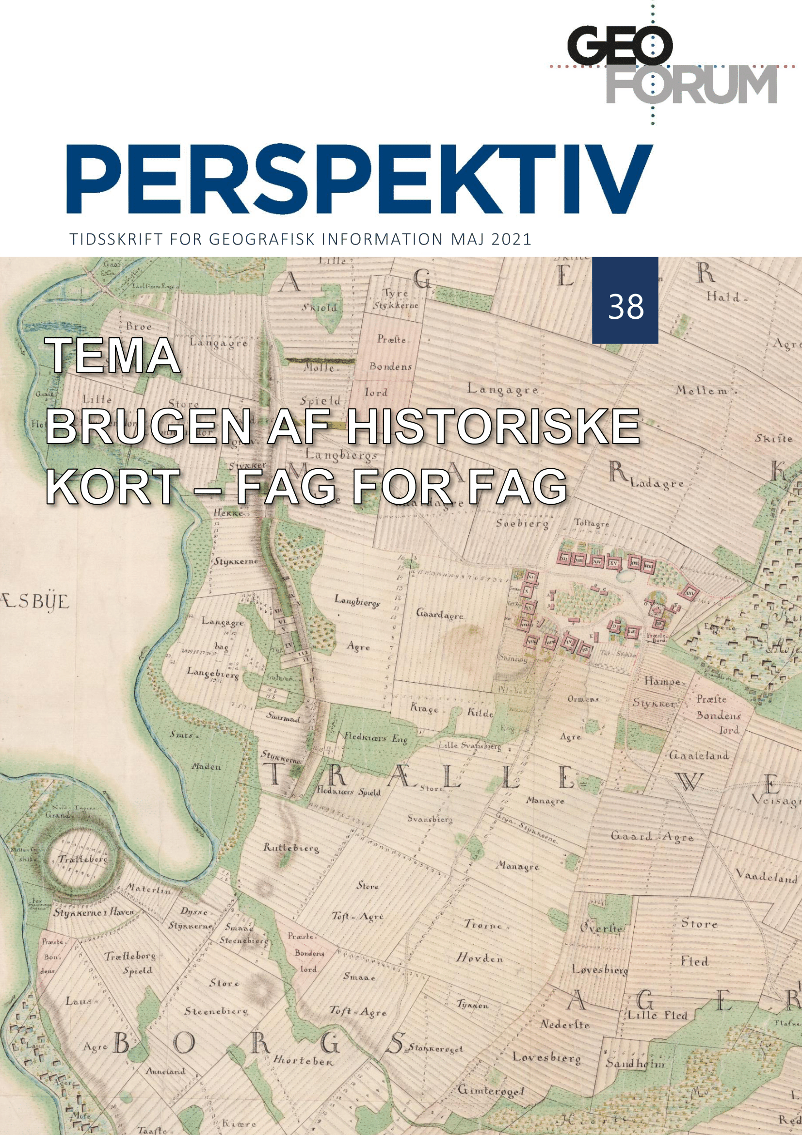
In the southwestern part of the Danish island of Bornholm we find a small fishing community called Arnager. The arable fields belonging to fishing communities of this type were usually not organized in an open field system (Danish dyrkningsfællesskab), with an arrangement of scattered land strips communally regulated but privately owned – least of all on Bornholm where no such systems are known to have existed, not even in arable-dominated villages. Nevertheless, Arnager appears like a regular open-field-system community on the first cadastral map, known as the 'original-1-map'. In order to investigate whether Arnager can be characterized as a village with an open field system or not, the information drawn from the original-1-map is compared to information from other maps available such as modern LiDAR maps as well as written sources. Furthermore, the quality of the soil and the local place names are taken into consideration in order to assess whether Arnager can in fact be seen as having been a fishing community with an open field system. An examination of the abovementioned sources concludes that a community of shared resources did in fact exist in Arnager in the 19th century, but clear evidence is lacking in respect to judge whether Arnager can be seen as a regular open field system as known from the rest of Denmark further back in time.
Downloads
Published
Issue
Section
License
Copyright (c) 2021 Anders Pihl

This work is licensed under a Creative Commons Attribution-NonCommercial-NoDerivatives 3.0 Unported License.
Authors publishing on Geoforum Perspektiv retain full but non-exclusive rights in their articles, and are required to use the Creative Commons license CC by-nc 4.0 when submitting their work.

