
The use of historical maps in the supervision of protected monuments
DOI:
https://doi.org/10.5278/ojs.perspektiv.v20i38.6589Abstract
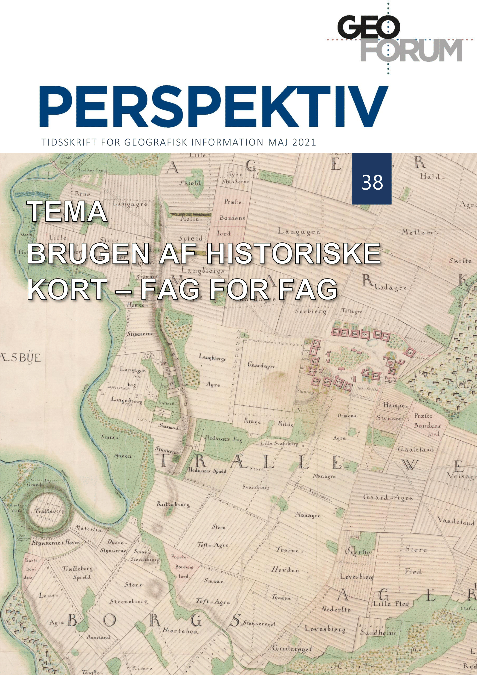
Historical maps have earlier proven to be a good supplement to the location of protected ancient sites andmonuments in Denmark. However, as lidar-maps are improving, and location-data have become moreprecise, historial maps are now rarely used for this purpose anymore. Nonetheless, some historical maps thatshow details of, for instance, a fortress or a canal, are still a great source when “new” protected sites are tobe described.Furthermore, historical maps can be used in combination with the lidar-maps in search for undocumentedancient monuments that still exist. It is only when it comes to smaller monuments, which are often omittedfrom historical maps that lidar-maps are better.When it comes to age-determination of earthen-and stone walls, historical maps are the sole source.Combined with lidar-maps, it is possible to trace the field boundaries back in time, using different sets ofhistorical land register-maps as well as ordinary topographic historical maps in the highest scale. With thisinformation, it is possible to extract different layers of walls, depending on the time they were built, which inturn can be used to determine which walls should be protected.
Downloads
Published
Issue
Section
License
Copyright (c) 2021 Steen Thrane Frydenlund Jensen

This work is licensed under a Creative Commons Attribution-NonCommercial-NoDerivatives 3.0 Unported License.
Authors publishing on Geoforum Perspektiv retain full but non-exclusive rights in their articles, and are required to use the Creative Commons license CC by-nc 4.0 when submitting their work.

