
Quantifying the impact of human land use on Store Vildmose based on historical maps
DOI:
https://doi.org/10.5278/ojs.perspektiv.v20i38.6595Abstract
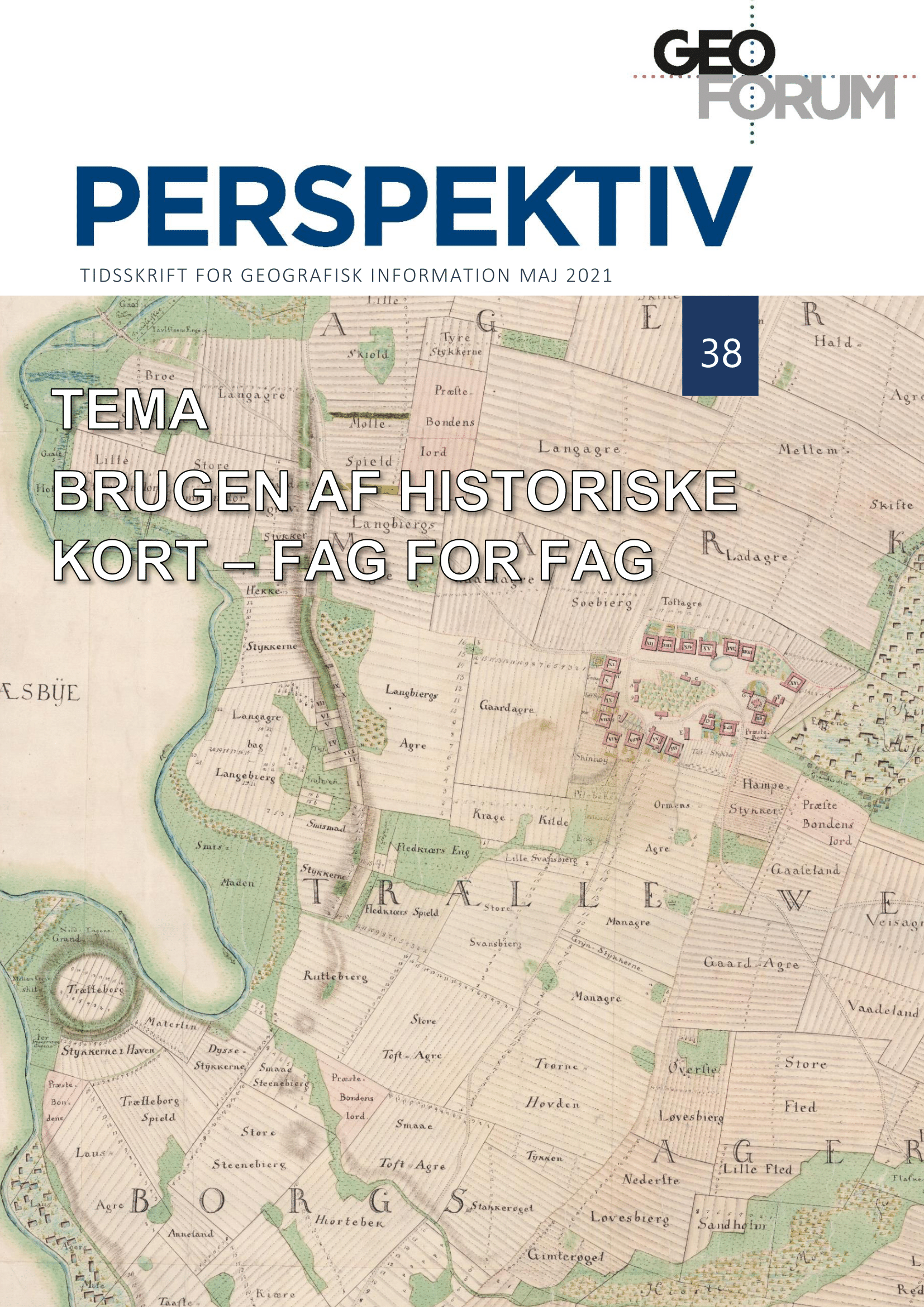
Bogs represent the largest peat areas in Denmark, and an investigation of these areas can shed light on thehuman influence of the Danish peat soils.We have studied the human influence at Store Vildmose and haveused the land use information from topographical maps of different age, elevation information from historicalmanuscript maps ‘bymålingerne’, a modern LiDAR-based elevation model as well as drilling data that holdsinformation on peat depth.We have registered the land use of 1880, 1935 and 1988, digitized around 13.000 point-observations withinthe study area from historical manuscript maps, used the LiDAR-based elevation model from 2008 as well as329 drillings through the peat from 2010.The results show that the bog in some areas has been more than five meters deep, but in some areas, it isalmost completely gone. In total 117.500.000 m3 peat has disappeared. That corresponds to 3 million.truckloads or ca. 170 truckloads of peat every day for 90 years. What has taken more than 2000 years tobuild, man has removed within 80 years with great consequences for climate and environment
Downloads
Published
Issue
Section
License
Copyright (c) 2021 Mogens Humlekrog Greve, Mette Balslev Greve, Sonja Li Tind

This work is licensed under a Creative Commons Attribution-NonCommercial-NoDerivatives 3.0 Unported License.
Authors publishing on Geoforum Perspektiv retain full but non-exclusive rights in their articles, and are required to use the Creative Commons license CC by-nc 4.0 when submitting their work.

