
Old and new forest areas in Denmark
DOI:
https://doi.org/10.5278/ojs.perspektiv.v20i38.6597Abstract
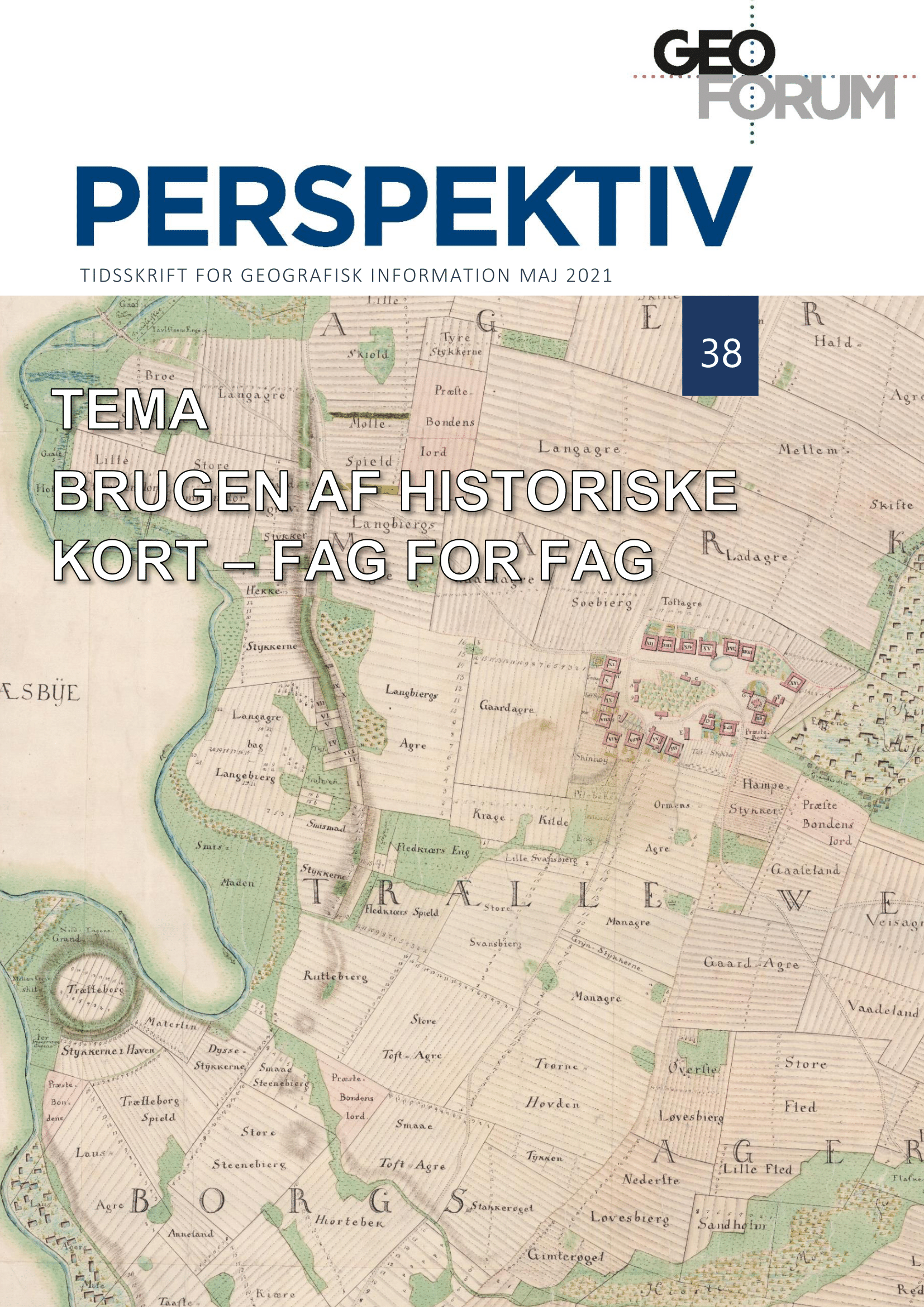
This article presents a number of sources and methods to illustrate historical geography of forests from the end of the 18th century until today – as well as a number of related issues. The primary source is historical maps, as they provide better information about geography than, for example, written records and forest statistics. The outset are two case studies, Lynge-Eskilstrup in Zealand and Kokborg in Central Jutland and a nationwide analysis.
The methods and sources presented, provide good opportunities to attain knowledge about the size and distribution of forests over time. However, there are also a number of issues. The main challenge is that the forests of the late 18th century with scattered trees as well as enclaves with other land uses occasionally had a different character than the very rational and rigorously managed forests that still dominate today. The development today towards natural forests with grazing cattle as well as recreational forests is moving somewhat in the direction of a return to the conditions in the historic forests. Nonetheless, the economically viable forest that is still the norm today.
The two studies of Lynge-Eskilstrup and Kokborg show how mixed forest types with deciduous forest, grazing forests and scrub forests were partly protected and partly cleared/cultivated in the wake of the agrarian reforms. However, it was a lengthy process, and still in the second half of the 19th century, remnants of scrub forests and scattered trees could be found, before these too disappeared and/or were fenced off for forestry. By then, the "streamlining" of the landscape types was largely completed, and the period from the last part of the 19th century onwards is characterized by the plantation of coniferous forests, primarily in West and North Jutland.
Due to the method and available digital sources, the area shares in the nationwide analysis must be approached with the reservations described. However, the regional patterns seen in Denmark will not move significantly by even detailed analyzes. The hilly moraine areas underwent a development from around 1800, where mixed forests were largely divided into protected forest areas with a focus on forestry, and partly cleared for traditional farming. Thereafter, from the latter half of the 19th century, a moderate afforestation took place, but it was especially in the sandy and heath-dominated areas that saw the greatest degree of afforestation.
Downloads
Published
Issue
Section
License
Copyright (c) 2021 Peder Dam

This work is licensed under a Creative Commons Attribution-NonCommercial-NoDerivatives 3.0 Unported License.
Authors publishing on Geoforum Perspektiv retain full but non-exclusive rights in their articles, and are required to use the Creative Commons license CC by-nc 4.0 when submitting their work.

