
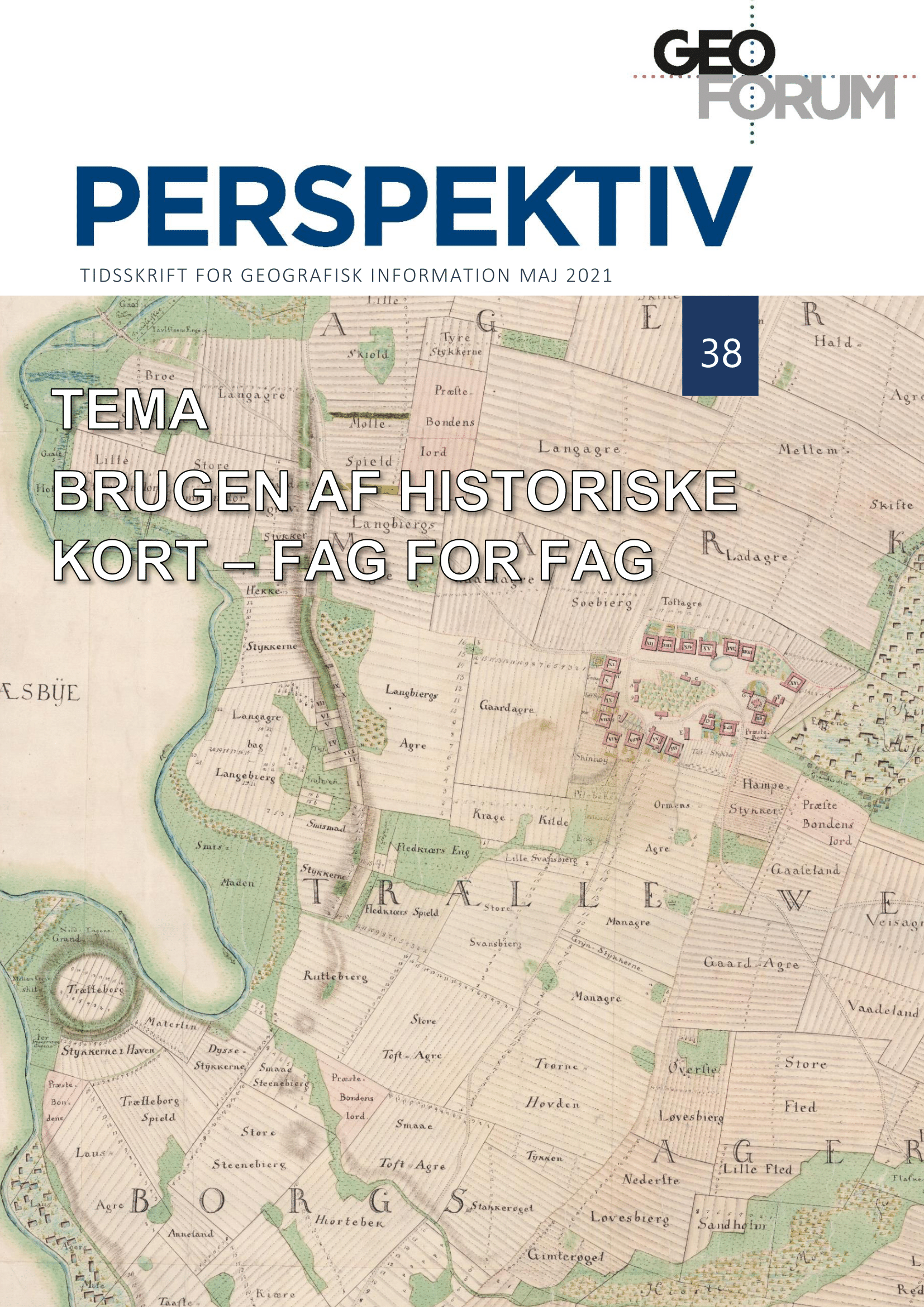
The use of maps and GIS in social history and historical demography: Three cases
DOI:
https://doi.org/10.5278/ojs.perspektiv.v20i38.6573Abstract
This article discusses the possibilities and limitations of analyzing historical individual-level records using GIS data based on historical maps. There is a lot to gain in both research and data management from harnessing the geographical information contained in historical sources. However, building infrastructure is a time-consuming process and even when complete it has certain limitations. This article approaches this discussion from two angles. The first one focuses on the benefits of utilizing existing resources in research with the example of pre-industrial Copenhagen. The second angle focuses on the process of building infrastructure by slightly alternative means, namely using a register of aerial photographs combined with crowd sourcing in order to construct a farm-level GIS.
Downloads
Published
Issue
Section
License
Copyright (c) 2021 Mads Linnet Perner

This work is licensed under a Creative Commons Attribution-NonCommercial-NoDerivatives 3.0 Unported License.
Authors publishing on Geoforum Perspektiv retain full but non-exclusive rights in their articles, and are required to use the Creative Commons license CC by-nc 4.0 when submitting their work.

