
Årg. 20 Nr. 38 (2021): Brugen af historiske kort – fag for fag
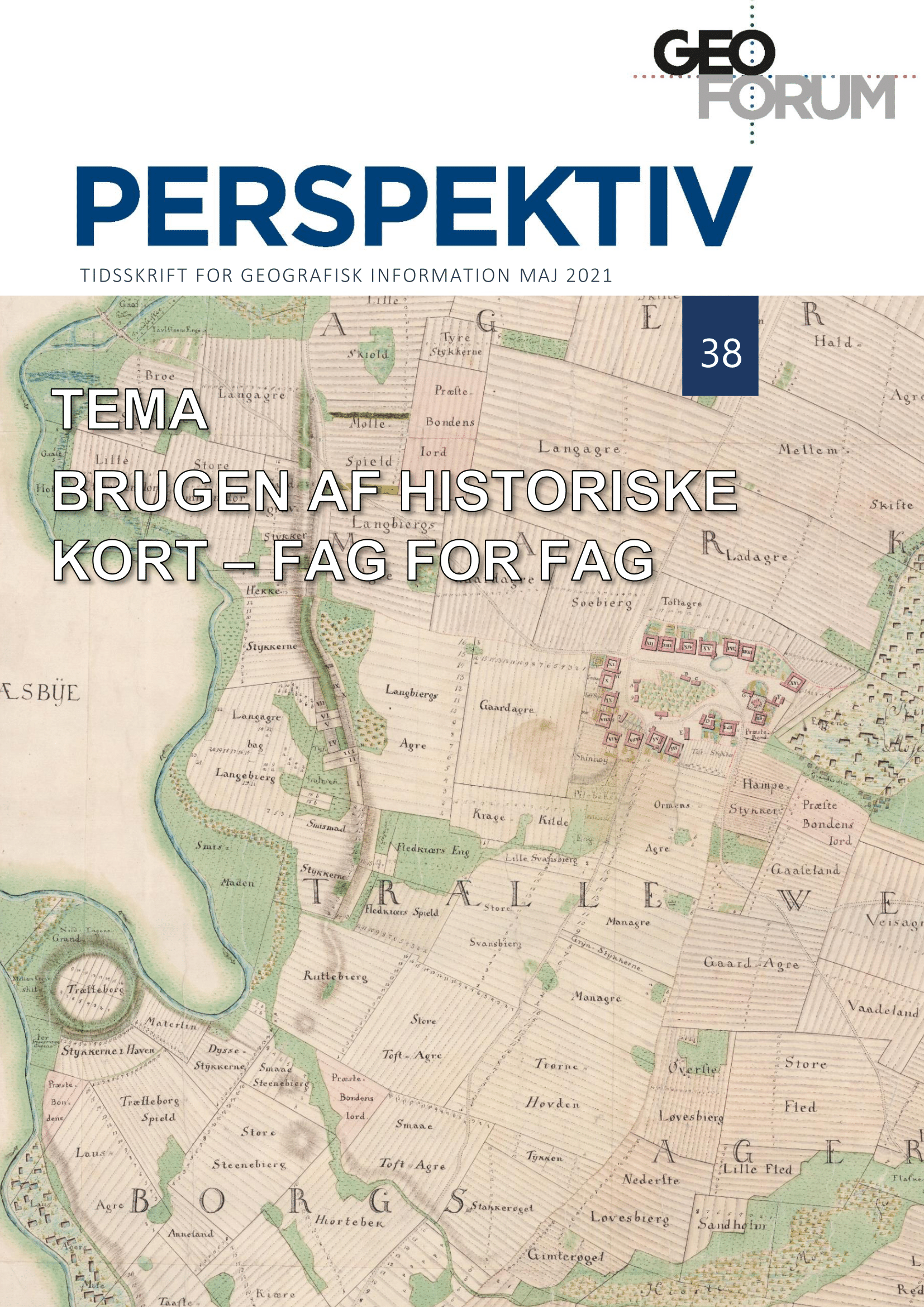
Historiske kort er i dag en central informationskilde indenfor en lang række fagområder. Kultur- og naturforvaltere, historikere, arkæologer samt en lang række af andre kulturformidlere og forskere henter regelmæssigt de historiske kort fra de webtjenester, der de seneste årtier har gjort adgangen nem og hurtig. De faglige muligheder og de kildemæssige udfordringer er dog i høj grad de samme, som da kortene måtte studeres på papir. I de 16 artikler her præsenteres, hvordan der i dag arbejdes med historiske kort inden for en lang række fagområder og fagemner. Hver af artiklerne har fokus på en af disse.
Artiklerne er desuden del af et festskrift og et seminar holdt 20. maj 2021 for Peter Korsgaard i anledning af hans pensionering som arkivar fra SDFE. Han har om nogen spillet en stor rolle i store brug af historiske kort i Danmark og den gode digitale adgang – vi er derfor mange, som skylder ham en stor tak.
Publiceret:
20-05-2021

